The Three Lakes Walk
A walk of exceptional naturalistic interest, running through very different types of habitat, such as forests, Alpine lakes, ravines and waterfalls. The creation of the new Gores de Federa (Federa Ravines) track, by the collective organisation Regole d’Ampezzo, offers a route visiting three lakes: a circular walk that takes about five hours and enables you to enjoy the views of Lake Pianozes, Lake d’Ajal and Lake Federa.
The starting point is the lovely Lake Pianozes, enchanting for its bright green colour in a dense forest setting. Chalet Pianozes, one of the Ampezzo Valley’s most famous restaurants, has views onto the lake. After having admired Lake Pianozes, go back to the street and after going up for 100 meters take track n° 430 towards Lake d’Ajal, which you will reach after about 40 minutes walking. Lago d’Ajal is an attractive Alpine lake, also famous for its trout fishing.
Go back 100 meters and take the more challenging track n° 431, which, after the Cason de Crosc del Macaròn, runs through the forest and takes you close to Beco d’Ajal: a magical location with a series of large boulders immersed in the forest. The landscape is reminiscent of scenes from Tolkien. This area offers a number of viewpoints providing impressive panoramas over the entire Ampezzo valley: from the Tofane mountains to Pomagagnon, Cristallo, Faloria, Sorapis, all the way to Antelao. The location is also home to one of Cortina’s most famous sport climbing areas.
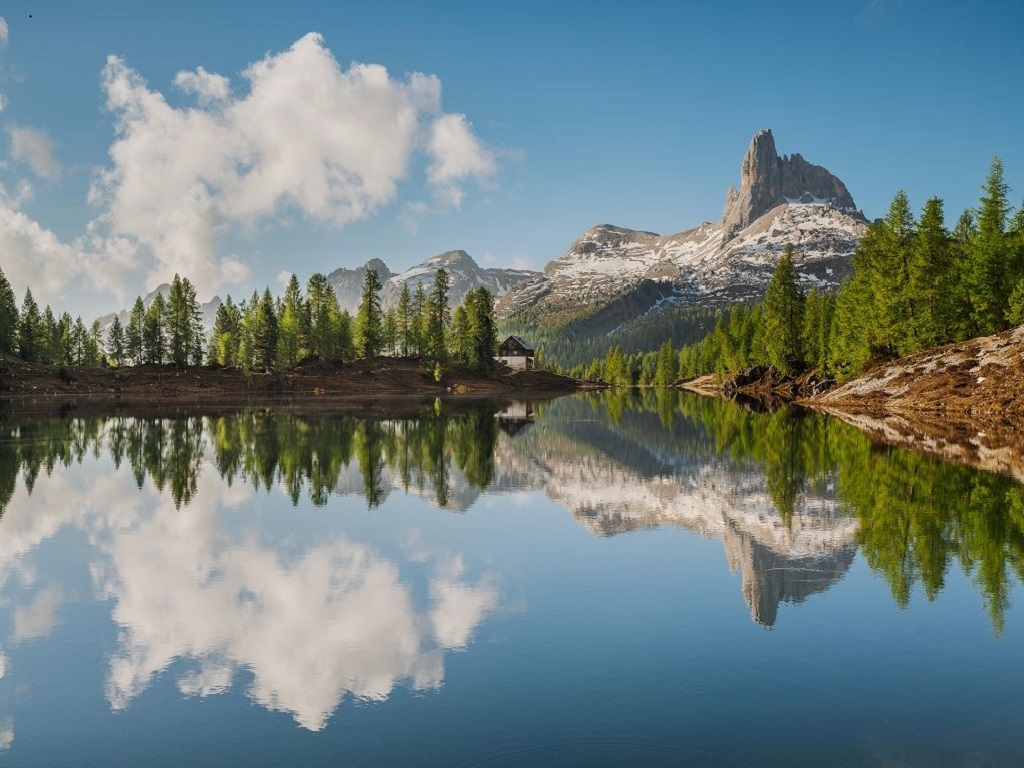
After a vertical distance of almost 1,000 metres and over three hours’ walking, the track emerges from the forest, and the view opens onto an exceptional panorama. You can admire the third lake of the walk, the lovely Lake Federa, one of the most beautiful and famous Alpine lakes in the Dolomites, in a landscape setting including the peaks Becco di Mezzodì and Croda da Lago, and the mountain lodge Rifugio Croda da Lago. The location provides an ideal opportunity for a break, to enjoy the views and visit the mountain lodge that offers excellent cuisine. The lodge looks onto the valley on one side, and over the lake, the forest and mountains on the other.
From here, continue the walk downhill, following the rough track n° 432 which brings you to Malga Federa after about 40 minutes’ walk. The malga, Alpine farm, is in an enchanting location, in a clearing surrounded by forests and mountains, with splendid views over the Ampezzo valley: Croda da Lago and Becco di Mezzodì on one side, Pomagagnon, Cristallo and Faloria on the other. At the Malga you will undoubtedly see cows, donkeys and horses in the pastures, and you can stop to savour some delicious local recipes.
From the Malga, follow the signs to the new Gores de Federa track, which takes you to the bridge Ponte di Federa in about 40 minutes of gentle ascents and descents, skirting waterfalls, ravines and streams, and crossing five suspension bridges over the river Ru Federa.
Once you have reached the bridge, carry on along the road until you reach the start of track n° 428, which runs through a beautiful forest and joins track n° 430, which takes you back to the start of the circuit in about 45 minutes, without excessive effort. Alternatively, you can stay on the main road to go back to the starting point, a shorter but less panoramic route.
By car - To reach the starting point by car, you just have to drive to Campo di Sotto, take the road to Lake Pianozes and carry on until you reach the car park.
By bus - You can also reach Campo di Sotto by taking city bus n° 2 in Piazza Roma. From Campo di Sotto, walk to the car park.