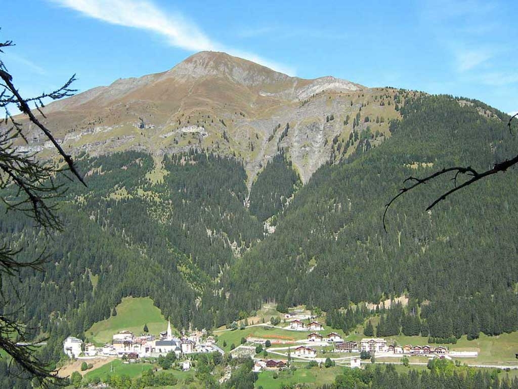
Trekking - Traversata del Col di Lana
Start off from Pieve di Livinallongo and from here to the parking lot in the district of Palla. You follow the old mule trail (marked 21) and soon you come to “Plan de la Lasta”, proceed to the end of the mule trail and arrive in the area called “i ripari” and from here you continue along the trail that goes to Plan de la Chicia (m 2054 a.s.l.). Continue along the outlines of the “Ciadiniei” ( 2125 m a.s.l.) until you reach a distinctive rocky leap called Napoleon's Hat - “Cappello di Napoleone” (m 2200 a.s.l.). You continue along the crest, passing a nearby tunnel built by the Italians to explode a powerful mine and conquer the peak of the Col di Lana that was occupied by the Austrians. You reach the top of the Col di Lana ( 2452m a.s.l.) where there is a permanent outpost and a chapel in memory of the fallen of every nationality. Proceed along the crest that connects the Col di Lana with Cima Sief ( 2262 m.a.s.l.) through the fortifications and trenches that were built on the crest during WW1. Once you get to the Cima Sief you go down towards the Col de la Roda and before reaching this point you continue along the high trail that goes to the space that's referred to as the Austrian Outpost, - “Accampamento Austriaco”, where you can still see ruins of wartime constructions. From here it is a brief hike to Plan de la Chicia and then you retrace your steps back to the parking lot in Palla.