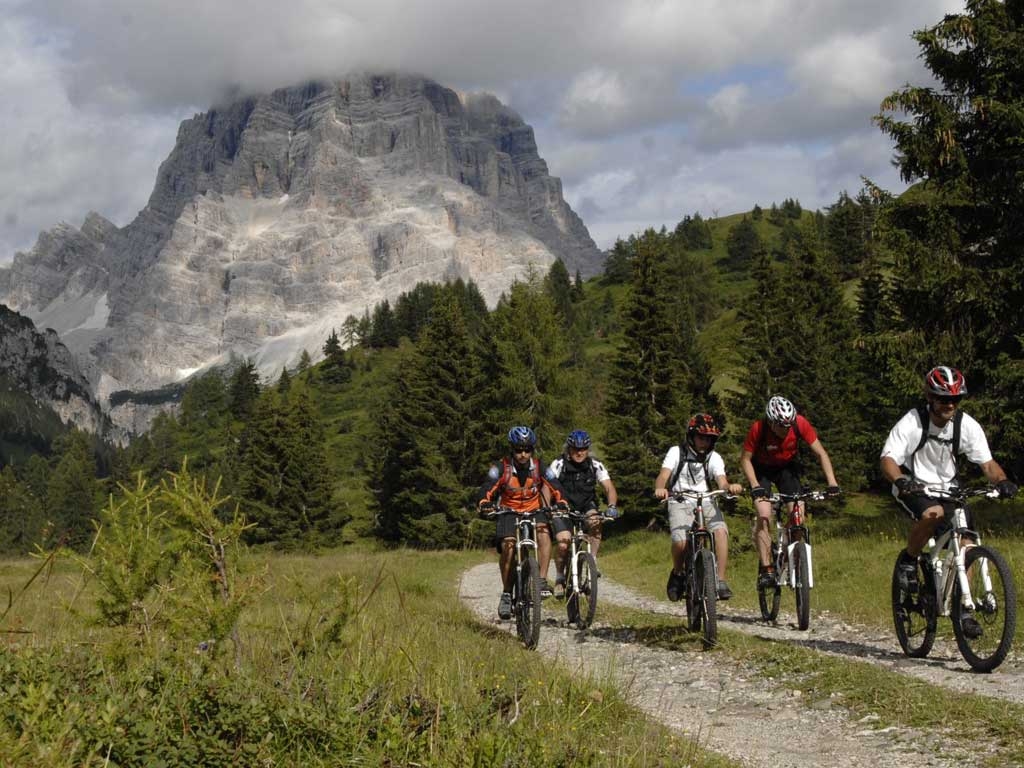
Mountain Bike - Forcella Alleghe
We start from the village of Alleghe and first we pass the Ice Arena and ride along the lakeside until we connect to Corso Italia where we turn right towards the centre; next to the Municipal building we take the uphill community street that takes us to Piani di Pezzè pedalling on asphalt for 5,23 km with a 496 m altitude change, a 9,5% incline on a challenging, long climb passing through the houses in Frena and Coi; pass the arrival station for the cable car lift and it is a slight downhill from the parking lot towards the point in Fontanabona where we enjoy a few hundred almost flat metres. Passing by the namesake refreshment stand, from these 1462 m we climb along a 2,84 km stretch that brings us to the 1827 m at Forcella Alleghe with an average 13% gradient on a stretch so hard to climb by bicycle that it is called “the Civetta Wall”. It is about 400 metres with a steep incline close to 24%, and is recognisable due to the surface, which is dirt and old, decayed asphalt. Once past this stretch the incline becomes easier to pedal all the way to Forcella. From here we go straight up towards the Col dei Baldi (1915 m) and climb for 1,27 km for an altitude change of 88 metres on easily ride-able dirt road for a pleasant ride to our scenic objective, and at the end of the climbs we come off the other side of the highest point of the day and start a long, challenging descent. At the junction for Col Fioret we turn left and in a few hundred metres we get to Prà della Costa (1630 m), continue pedalling for Val d’Aier for about 1,5 km with quite a challenging altitude change of negative -205 m, a downhill with a few stretches that are highly technical and tricky. After passing the “Strente” point we head towards our next objective, "the village of Fernazza" about 1,4 km away with about -70 m altitude change, continue descending on the same trail and after covering about six hundred metres we come to the houses in Coi. We continue our descent to Alleghe, which is fun but quite challenging because it is rough, but then we find some asphalt until we pass the houses in Frena to get to Coldemies about 1,15 km further on with a negative incline of 17 % mostly off road and then further on still there is Fontanive where we arrive after – 207 m in 1140 m (- 18%) in spite of the care which needs to be taken on the route that alternates between dirt road and old asphalt, respecting the road crossings on the community road. Now we are on the home stretch, there are only 700 metres at 9% in descent on asphalt and dirt road to arrive in Corso Venezia in Alleghe where we conclude our day.