Ferrata Attilio Tissi
FERRATA ATTILIO TISSI (MOUNT CIVETTA)
The ferrata climbs up the steep western face of Cima Tomé (3004 m) overcoming with an exposed itinerary the rock band situated below Pian delle Sasse. The itinerary was recently modified and is well equipped. It can be climbed uphill for whoever comes from the rifugio Vazzoler but also downhill for those who have climbed to the top of Civetta along the normal route of the Alleghesi ferrata and aim to complete the traverse. The ferrata is not very long but the total itinerary has remarkable vertical height gain and total length and requires excellent physical form.
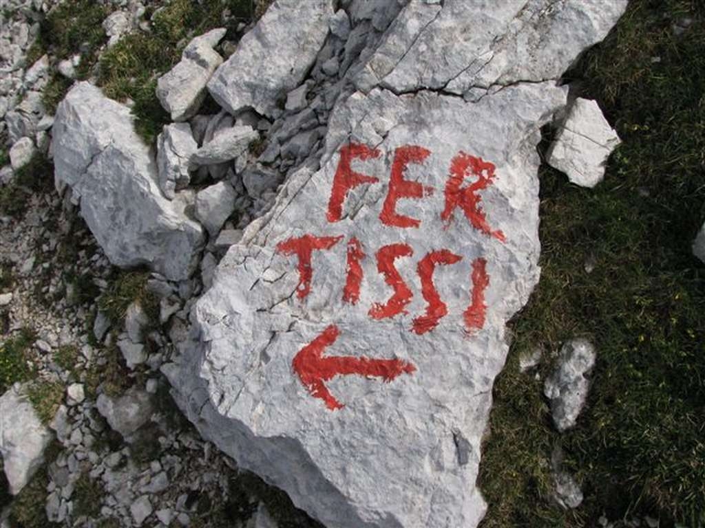
From Capanna Trieste follow the dirt road towards rifugio Vazzoler. After many switch back turns, at the base of Torre Trieste turn into path n. 558 on the right. Follow it in an easterly direction crossing the stretch of dwarf pines at the foot of the Tower. Continue uphill and at a junction turn left (north) along path n. 558. Overcome a number of wide scree and karst valleys towards the Van delle Sasse saddle, before reaching it turn left towards Civetta Bassa’s wall. The start of the ferrata is situated at an altitude of roughly 2600 m and is marked with a red square. Follow the metal cables along ramps and vertical sections. A traverse to the left leads to an exposed ledge which you follow till you reach Pian della Tenda and from here soon reach Rifugio Torrani. From the hut the path leads in roughly 45 minutes to the Civetta’s summit.
Descent: you can descend along the uphill itinerary or along the normal route which leads to the Tivan path and then to the rifugio Coldai, thus tackling the group’s entire traverse.