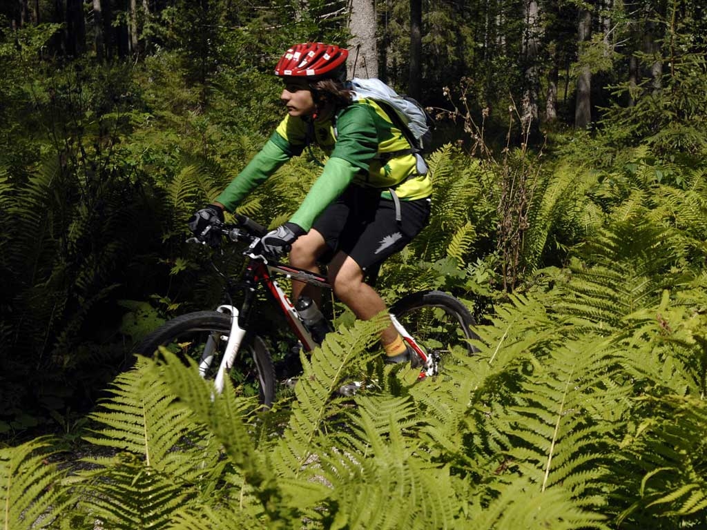
Mountain Bike - Forcella San Tomaso (Falcade)
The itinerary covers the entire valley along paths and secondary roads, passing through the tiny, charming villages in the area, where time seems to be standing still. The route goes clockwise, with the first considerable climbs to be faced on the Passo San Pellegrino and travelling on the peaks of Falcade and Caviola on the North face with continuous altitude changes, travelling through the hamlets of Valt, Sappade, Colmean and Feder. Crossing the Forcella Lagazzon it wanders into the territory of Vallada Agordina. Off the route in the neighbourhood of Sachet, the Church of San Simon is worth a visit; it its the oldest church in the Valle del Biois and also a National Monument that juts out impressively from the base of Monte Celentone. The itinerary resumes going upwards towards the Forcella San Tomaso where it comes off the back and goes down to through the hamlets of San Tomaso Agordino to Forchiade. Here it heads back following the bike path towards Cencenighe Agordino and then in the direction of Falcade, transiting by Canale d’Agordo and Via Cavalera. With its 46,62 m of length, 1869 m altitude difference and the continuous ups and downs, it is advisable to be in proper physical shape.